


In law enforcement, every moment and detail matters. A reliable technology partner can mean the…
Linda AhmadpanahApril 24, 2024
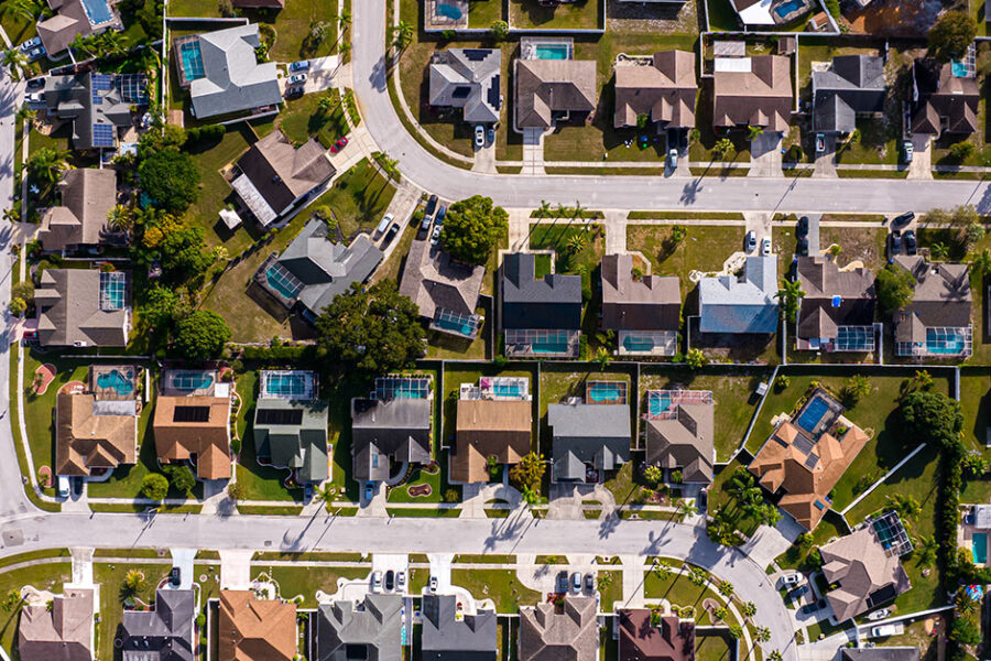
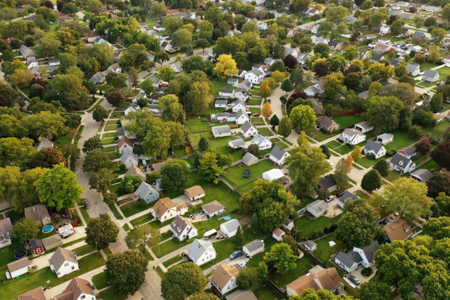
We know real estate and pride ourselves on being your go-to source for the latest information on the Canadian housing market and the financial, mortgage, and real estate industries.

Copyright © 2024 GeoWarehouse
Copyright © 2023 GeoWarehouse