With its comprehensive and up-to-date property information database, GeoWarehouse® revolutionizes the way professionals in these fields gather critical data and conduct investigations. GeoWarehouse provides a wealth of information, including property ownership records, historical sales data, zoning information, and more. This rich database allows law enforcement professionals to establish connections, identify patterns, and make informed decisions.
Law & Investigation
Select your profession to learn more:

GeoWarehouse +
Legal Professionals
How Legal Professionals Use GeoWarehouse
Mapping and Visualization
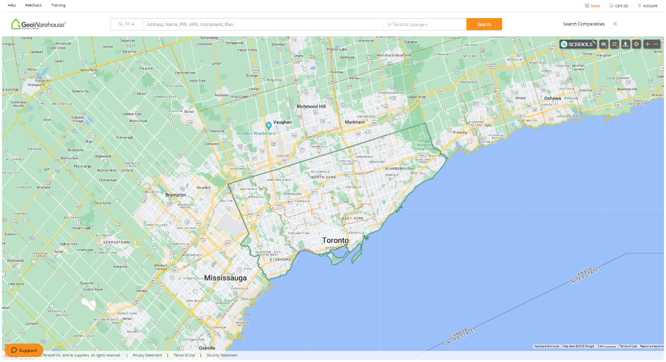
GeoWarehouse offers mapping tools that enable legal professionals to visualize properties, boundaries, and surrounding areas. This can be particularly useful when preparing legal documents, presenting evidence in court, or assessing the impact of zoning regulations or property developments.
Title Searches
Legal professionals often need to perform title searches to verify property ownership, mortgages, liens, and other encumbrances. GeoWarehouse offers a streamlined platform to conduct electronic title searches, saving time and effort compared to traditional manual searches.
Due Diligence and Research
Legal professionals can use GeoWarehouse to conduct property due diligence and research. It provides access to property ownership records, sales history, property boundaries, encumbrances, liens, and other relevant information. This can be invaluable for conducting thorough research before real estate transactions, property disputes, or court proceedings.
Reports to Leverage
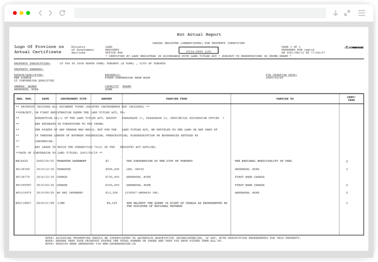
Parcel Register*
A record containing property description and list of instruments registered against the property within the Land Registration System of Ontario as of the date of search. A real-time report for a property. The provincial ownership records. Exercise due diligence by identifying registered encumbrances and acquire an instrument number.
*An official product of the Ontario government pursuant to provincial land registration statutes.
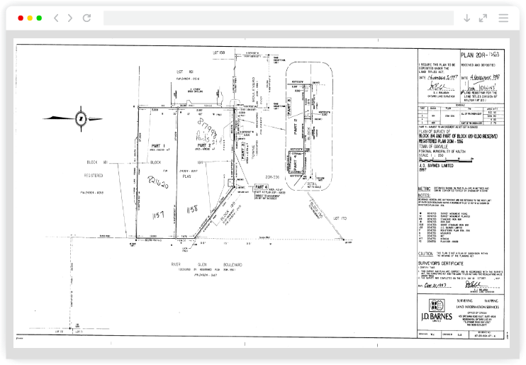
Property Survey
Image of the Survey Plan portion of a Surveyor’s Real Property Report, Building Location Survey or other undeposited plan provided by third-party surveying firms. Easily acquire dimensions of property boundary and structural elements of the land.
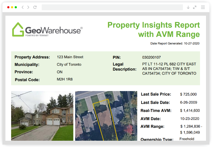
Property Insights Report with AVM Range
This detailed report provides you with all the knowledge you need to know about a residential property. This includes a trusted valuation using Teranet’s AVM, mortgage information, and encumbrances on title. The report includes the subject property AVM, authoritative title check data, active mortgages, liens, judgements, cautions, discharges and more.
Harness GeoWarehouse to Complete Your Due Diligence
Apply for your GeoWarehouse subscription by completing the form.
Harness GeoWarehouse to Complete Your Due Diligence

Apply for your GeoWarehouse subscription by completing the form.
Explore the GeoWarehouse Blog
Become an Insighter
At Teranet, we are dedicated to offering you the products and solutions that are beneficial to you in your business. To ensure we are evolving alongside you and your business, we launched the Teranet Insighters Community, which offers you the opportunity to share your voice and valuable feedback.
Help shape the future of our products and services by becoming a member today.
Become an Insighter

At Teranet, we are dedicated to offering you the products and solutions that are beneficial to you in your business. To ensure we are evolving alongside you and your business, we launched the Teranet Insighters Community, which offers you the opportunity to share your voice and valuable feedback.
Help shape the future of our products and services by becoming a member today.


