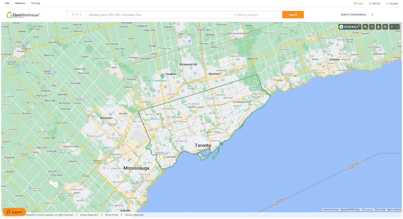
GeoWarehouse® is a powerful tool that offers numerous benefits to government officials, utility workers, and appraisers involved in various aspects of land management and property valuation. Armed with such crucial data, decision-making becomes more efficient and informed. Whether it’s evaluating potential development sites, assessing the impact of zoning changes, or conducting land surveys, GeoWarehouse simplifies the entire process, saving time and resources.
Assessing & Analyzing
Select your profession to learn more:


GeoWarehouse +
Utility
GeoWarehouse serves various utility organizations by providing them with the necessary land property and ownership information for conducting equipment rental or purchase agreements.
Book A DemoGeoWarehouse +
Utility
GeoWarehouse serves various Utility organizations in their need to understand land property and ownership information to conduct equipment rental or purchase agreements.
How Utility Organizations Use GeoWarehouse
Infrastructure Planning and Management
GeoWarehouse provides utility organizations with accurate and up-to-date geospatial data, enabling them to plan, design, and manage their infrastructure effectively. It allows them to identify suitable locations for new utility installations, assess the impact of proposed projects, and optimize their existing infrastructure network.
Asset Management
Utility organizations can use GeoWarehouse to maintain a comprehensive inventory of their assets, such as pipelines, transmission lines, substations, and other utility infrastructure. By overlaying asset data onto geospatial information, they can track the location, condition, and maintenance history of their assets, ensuring efficient operations and proactive maintenance.
Regulatory Compliance
Utility organizations need to comply with various regulatory requirements, such as easement restrictions and environmental regulations. GeoWarehouse enables them to access property-specific information, such as land surveys, property boundaries, and legal descriptions, ensuring compliance with regulations and avoiding potential conflicts.

Schedule Your Private Demo
See GeoWarehouse in action through a personalized demo. Learn how utility organizations use the platform to confirm ownership, understand parcel boundaries and simplify property/land research.
Book Now
Schedule Your Private Demo
Enhance your investigative processes and uncover the full potential of GeoWarehouse. We’re here to guide you through a private curated demo to showcase how our platform can be tailored to meet your specific needs. Experience firsthand how GeoWarehouse can revolutionize the investigative processes.
Harness GeoWarehouse to Complete Your Due Diligence
Apply for your GeoWarehouse subscription by completing the form.
Harness GeoWarehouse to Complete Your Due Diligence
Apply for your GeoWarehouse subscription by completing the form.
Maximize your subscription

Maximize Your Subscription
Register for an upcoming training session.
Have a Question?

Have a Question?
Contact one of our customer support representatives.
Explore the GeoWarehouse Blog


Become an Insighter
At Teranet, we are dedicated to offering you the products and solutions that are beneficial to you in your business. To ensure we are evolving alongside you and your business, we launched the Teranet Insighters Community, which offers you the opportunity to share your voice and valuable feedback.
Help shape the future of our products and services by becoming a member today.