GeoWarehouse® is an invaluable tool for developers, architects, builders, engineers and other professionals in the industry. It provides a wealth of information and data that is crucial for making informed decisions and ensuring successful project outcomes. With its comprehensive range of features and user-friendly interface, GeoWarehouse streamlines the process of gathering, analyzing, and utilizing geospatial information.
Building & Developing
Select your profession to learn more:

GeoWarehouse +
Real Estate Development
GeoWarehouse +
Real Estate Development

Real Estate Developers rely on the authoritative data provided through GeoWarehouse. In the process of selecting a parcel of land for development, Developers can rely on GeoWarehouse to facilitate the acquisition or disposition of property.
How Real Estate Developers Use GeoWarehouse
Access Property and Land Information
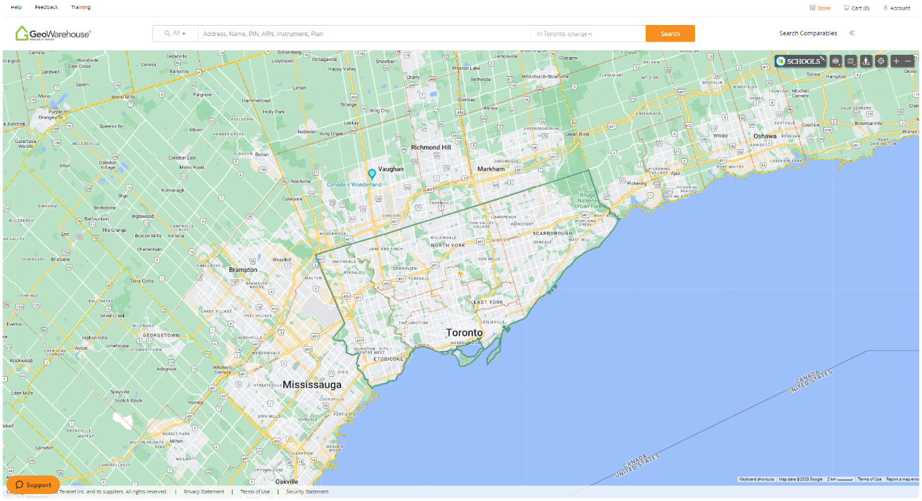
Developers can leverage GeoWarehouse to gain insight into property ownership, including address confirmation, and to obtain legal descriptions for site acquisitions and dispositions. They also have access to registered plans (i.e. subdivision, reference, highway, and expropriation), overlay of aerial imagery against parcel fabric for visual confirmation, and more.
Generate New Business
With access to the most authoritative property information, real estate developers have the ability to conduct their property searches and identify any new business opportunities.
How GeoWarehouse Supports Your Next Project
Explore how builders and developers use GeoWarehouse to streamline site selection with greater confidence. In this short video, see how property data, title intelligence, and market insights come together to support smarter, faster decisions at the earliest stages of project planning.
Discover the Key to Developer Success
with Our Free eBook!
Are you a builder or developer seeking to elevate your projects and maximize your potential? Look no further. Download our “A Developer’s Guide to Success: Maximizing Opportunities with GeoWarehouse” guide as it’s packed with expert insights designed to help you:
✓ Make data-driven decisions for development success
✓ Identify key opportunities in site selection and market analysis
✓ Leverage GeoWarehouse features for smarter, more informed decisions
Don’t miss out on this opportunity to take your projects to the next level. Download your FREE copy today and unlock the secrets to development success!
Reports to Leverage
Basic Zoning Report
This report provides a quick snapshot of zoning designations, permitted uses, local bylaw restrictions, and high-level constraints—ideal for early-stage reviews and transaction due diligence. Created in partnership with LandLogic Inc.


Aerial Imagery
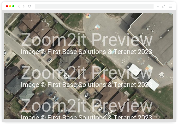
Purchase high-quality aerial imagery for use in listings and other marketing materials. Access aerial imagery coverage for all Southern Ontario, including areas not currently available in many commercial mapping platforms. Receive photos at three zoom levels for marketing properties of all sizes.
Condo Status Certificates
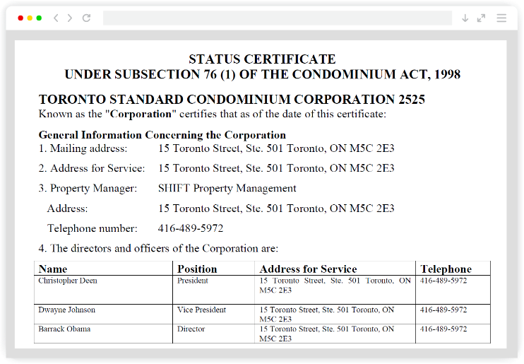
Find, purchase and receive condominium status certificates online through GeoWarehouse and Conduit. GeoWarehouse will inform you of which unit status certificates are available online (close to 20% of units in the province and growing!), and a one-click auto-login to Conduit takes you right to the purchasing process for your requested unit’s status certificate.


Protect Your Boundaries Report
With the GeoWarehouse and Protect Your Boundaries (PYB) partnership, you can access various PYB Reports that include the easement counter technology that will notify you of all easements that affect each property in Ontario. There are three (3) versions of these plain language reports that summarize key information from official land registry records into simple reports – allowing you to remain the expert in the transaction.

Schedule Your Private Demo
Not ready to subscribe? Request a personalized demo and see how GeoWarehouse can streamline your workflows, including your site-selection process, enhance decision-making, and deliver the insights you need to help you with your projects. Experience the GeoWarehouse advantage today!
Harness GeoWarehouse to Complete Your Due Diligence
Apply for your GeoWarehouse subscription by completing the form.

Harness GeoWarehouse to Complete Your Due Diligence

Apply for your GeoWarehouse subscription by completing the form.
Explore the GeoWarehouse Blog
Become an Insighter
At Teranet, we are dedicated to offering you the products and solutions that are beneficial to you in your business. To ensure we are evolving alongside you and your business, we launched the Teranet Insighters Community, which offers you the opportunity to share your voice and valuable feedback.
Help shape the future of our products and services by becoming a member today.
Become an Insighter

At Teranet, we are dedicated to offering you the products and solutions that are beneficial to you in your business. To ensure we are evolving alongside you and your business, we launched the Teranet Insighters Community, which offers you the opportunity to share your voice and valuable feedback.
Help shape the future of our products and services by becoming a member today.


