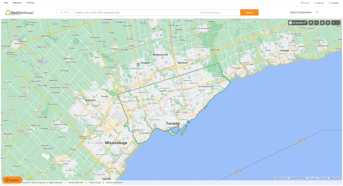
GeoWarehouse® is a powerful tool that offers numerous benefits to government officials, utility workers, and appraisers involved in various aspects of land management and property valuation. Armed with such crucial data, decision-making becomes more efficient and informed. Whether it’s evaluating potential development sites, assessing the impact of zoning changes, or conducting land surveys, GeoWarehouse simplifies the entire process, saving time and resources.
Assessing & Analyzing
Select your profession to learn more:


GeoWarehouse +
Government
Government officials leverage the data, analytics, and insights from GeoWarehouse in a multitude of ways regardless of which level of Government they are in.
GeoWarehouse +
Government
Government officials leverage the data, analytics, and insights from GeoWarehouse in a multitude of ways regardless of which level of Government they are in.
How Government Uses GeoWarehouse
Municipalities
Municipalities use GeoWarehouse for numerous activities including validating property ownership, locating and confirming municipal assets, and viewing properties on a map integrated with aerial imagery and road information.
Utilities
Utilities use GeoWarehouse to obtain property information regarding their assets and plants. The map view displays the location of the property as well as neighbouring properties. Property attributes including address and legal descriptions are also easily accessible.
Provincial and Federal Governments
Federal and Provincial Governments use the information available in our GeoWarehouse online solution to obtain property-related information for research, project planning, and property management. Data and reports are presented in an easy to use, customizable format.
Harness GeoWarehouse to Complete Your Due Diligence
Apply for your GeoWarehouse subscription by completing the form.
Harness GeoWarehouse to Complete Your Due Diligence
Apply for your GeoWarehouse subscription by completing the form.
Explore the GeoWarehouse Blog
Filter
AllCondo Status CertificateEnhanced AVM Comparable ReportFraudGeoWarehouseGeoWarehouse EnhancementsGeoWarehouse NewsGeoWarehouse Profile InformationGeowarehouse ReportsGeoWarehouse StoreGeoWarehouse TrainingHeat MapsHood Q ReportsIndustry NewsInstrument ImageLaw EnforcementLearning & DevelopmentParcel RegisterProperty Details ReportProperty Insights Report with AVM RangeProperty ReportProperty SearchProperty SurveyProperty Title SearchProtect Your Boundaries ReportsResidential Relocation ReportsSearch ComparablesTeam Member SpotlightTeraIntelligenceTeranetTeranet InsightersTeranet Market Insight ForumTeranet Market Insights ReportTeranet-National Bank House Price IndexTitle Search


Become an Insighter
At Teranet, we are dedicated to offering you the products and solutions that are beneficial to you in your business. To ensure we are evolving alongside you and your business, we launched the Teranet Insighters Community, which offers you the opportunity to share your voice and valuable feedback.
Help shape the future of our products and services by becoming a member today.